
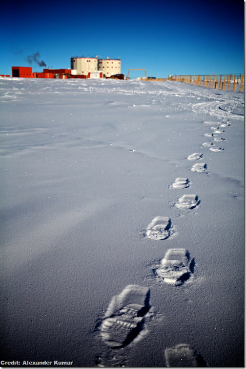
1. Home, cold home
Concordia Research Station looms in the distance. The space-age building can house up to 90 people during the summer months, but during the winter, only a handful stay behind. Kumar is tasked with keeping the remaining residents healthy, but is also conducting research on them for the European Space Agency. Concordia is so remote, it is used as an analogue for human spaceflight.
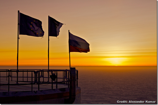
2. Here comes the sun!
Very early on a recent Sunday morning, doctor and medical researcher Alexander Kumar opened a hatch, climbed out on a deserted rooftop, and drank in the first sunlight he'd seen in months. A honey-coloured sky lit the vast plateau of the East Antarctic Ice Sheet with a tangerine glow.
It was Aug. 12, and Kumar was perched atop the Concordia Research Station, a joint French-Italian outpost in the middle of East Antarctica, watching the first sunrise to light his desolate corner of the continent in more than three months.
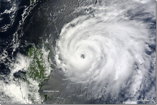
3. When it rains...
A huge and powerful typhoon is churning toward China, putting the storm-weary nation on alert. Typhoon Tembin is the fifth massive storm to hit the region in three weeks, and residents are bracing for yet more drenching rains and high winds as the typhoon approaches.
The storm is packing maximum sustained winds of 115 mph (185 kph) with gusts up to 144 mph (230 kph), according to the latest forecast from the U.S. Navy’s Joint Typhoon Warning Centre, making it the equivalent of a Category 3 hurricane. (Typhoons are the same phenomenon as tropical storms and hurricanes, all collectively known as tropical cyclones.)
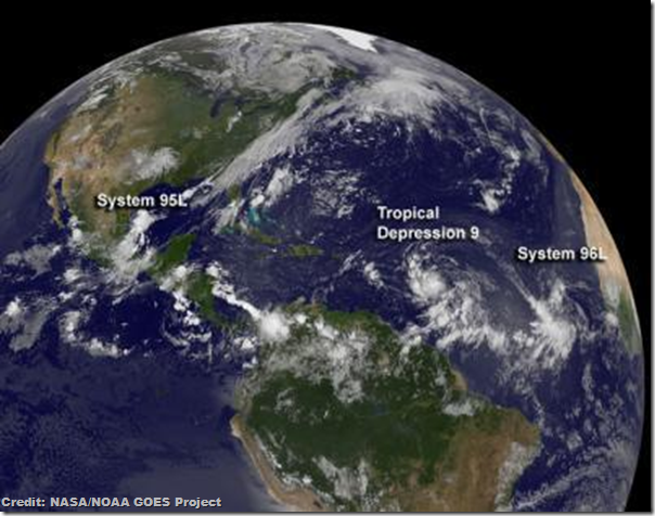
4. Triple threat
This image, taken yesterday (Aug. 21) by NOAA's GOES-13 satellite, shows three storm systems gathering strength.
Forecasters recently upped the chances for a busier-than-normal 2012 Atlantic hurricane season, with 12 to 17 named storms and between five to eight hurricanes. Named storms include tropical storms and hurricanes. The busiest months of the hurricane season are typically August and September.
5. Stunning systems
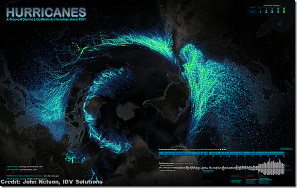
A new map done up in glowing colours reveals the swirling paths hurricanes and tropical storms have tread across our planet since 1851.
If it looks a little odd at first, it's because this hurricane map offers a unique perspective of the Earth; Antarctica is smack in the middle, and the rest of the planet unfurls around it like the petals of a tulip.
6. Frosty voyage
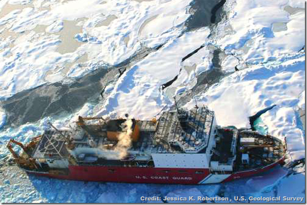
Scientists are setting sail this week for frigid Arctic waters, for an expedition to one of the least-explored ocean regions on Earth.
The four-week trip, led by the U.S. Geological Survey, is designed to investigate the toll ocean acidification is taking in the Arctic Ocean, a region that appears to be particularly susceptible to its effects.
7. On the inside
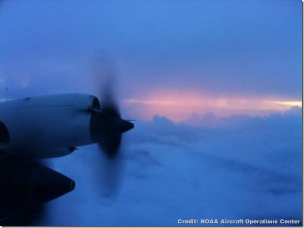
All eyes are on Tropical Storm Isaac as it barrels across the Caribbean toward Florida, where it could make for a soggy Republican National Convention next week. Yet amid all the speculation, a handful of Americans have already gotten up close and personal with the much-discussed storm.
Crews with the National Oceanic and Atmospheric Administration (NOAA) have been flying inside Tropical Storm Isaac, gathering data aboard specially outfitted aircraft.
No comments:
Post a Comment
Please adhere to proper blog etiquette when posting your comments. This blog owner will exercise his absolution discretion in allowing or rejecting any comments that are deemed seditious, defamatory, libelous, racist, vulgar, insulting, and other remarks that exhibit similar characteristics. If you insist on using anonymous comments, please write your name or other IDs at the end of your message.